
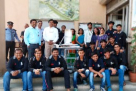


Accomplishments

A Technique to Classify Sugarcane Crop from Sentinel-2 imagery using U-Net Architecture
- Details
- Share

- Abstract
Satellite imagery data collected from various modern and older versions of satellites discover its applications in a variety of domains. One of the domains with great importance is an agriculture domain. Satellite imagery data can be significantly used in agricultural applications to increase precision and efficiency of farming. We can work on disease detection, crop classification, weather monitoring, farmland usage like applications utilizing these images. In this paper, we propose a technique to classify sugarcane crops from the satellite imagery utilizing supervised machine learning approach. Unlike unsupervised models, this technique relies on the ground truth data collected from the farm to train, test and validate the model. The ground samples contain four stages, germination, tillering, grand growth, and maturity, of the sugarcane growth cycle. This collected information acts as an input to the U-Net architecture which will extract the features unique to the sugarcane field and further classify the sugarcane crop
Related Items
-
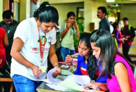
Admissions▲
▼
- Computer Engineering
- Electronics and Telecommunication
- Electronics Engineering
- Information Technology
- Artificial Intelligence
-
About▲ ▼
-
Student Help▲ ▼
- Quick Links▲ ▼
-
Get in Touch▲ ▼

-
K J Somaiya Institute of Technology
Somaiya Ayurvihar Complex, Eastern Express Highway, Near Everard Nagar, Sion (East), Mumbai – 400 022
91-22-44444408 / 44444403
info.tech@somaiya.edu -

