
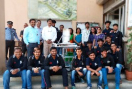


Accomplishments

Land Use Land Cover Classification and Change Dynamics: A Case Study in Mumbai, Maharashtra, India
- Details
- Share

- Abstract
Land Use Land Cover (LULC) classification and its change dynamics are crucial to the policy-makers. Remote sensing and Machine Learning (ML) techniques have shown promising results in land use applications. Over the years, optical remote sensing based satellite imagery is utilized in LULC applications but with its own set of limitations. This study investigates the dynamics of LULC classification in Mumbai city in Maharashtra state of India, using Synthetic Aperture Radar (SAR) based Sentinel-1 satellite imagery from Google Earth Engine (GEE) and ML. Initially five ML algorithms, including Random Forest (RF), Support Vector Machines (SVM), K-Nearest Neighbour, Classification and Regression Tree (CART), Gradient Tree Boost, are experimented on SAR data for LULC classification for the years 2014 and 2024. Experimental results depicts that RF outperforms the other ML algorithms. The LULC map generated for the years 2014 and 2024 are further utilized for change detection. Substantial urban growth has been observed by the change detection analysis, specifically in the suburban areas, underscoring the transition of non built-up areas into built-up zones. The outcome of this research work will be useful for sustainable growth and city planning in rapidly growing metropolitan areas.
-
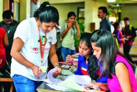
Admissions▲
▼
- Computer Engineering
- Electronics and Telecommunication
- Information Technology
- Artificial Intelligence
-
About▲ ▼
-
Student Help▲ ▼
- Quick Links▲ ▼
-
Get in Touch▲ ▼

-
K J Somaiya Institute of Technology
Somaiya Ayurvihar Complex, Eastern Express Highway, Near Everard Nagar, Sion (East), Mumbai – 400 022
91-22-44444408 / 44444403
info.tech@somaiya.edu -

